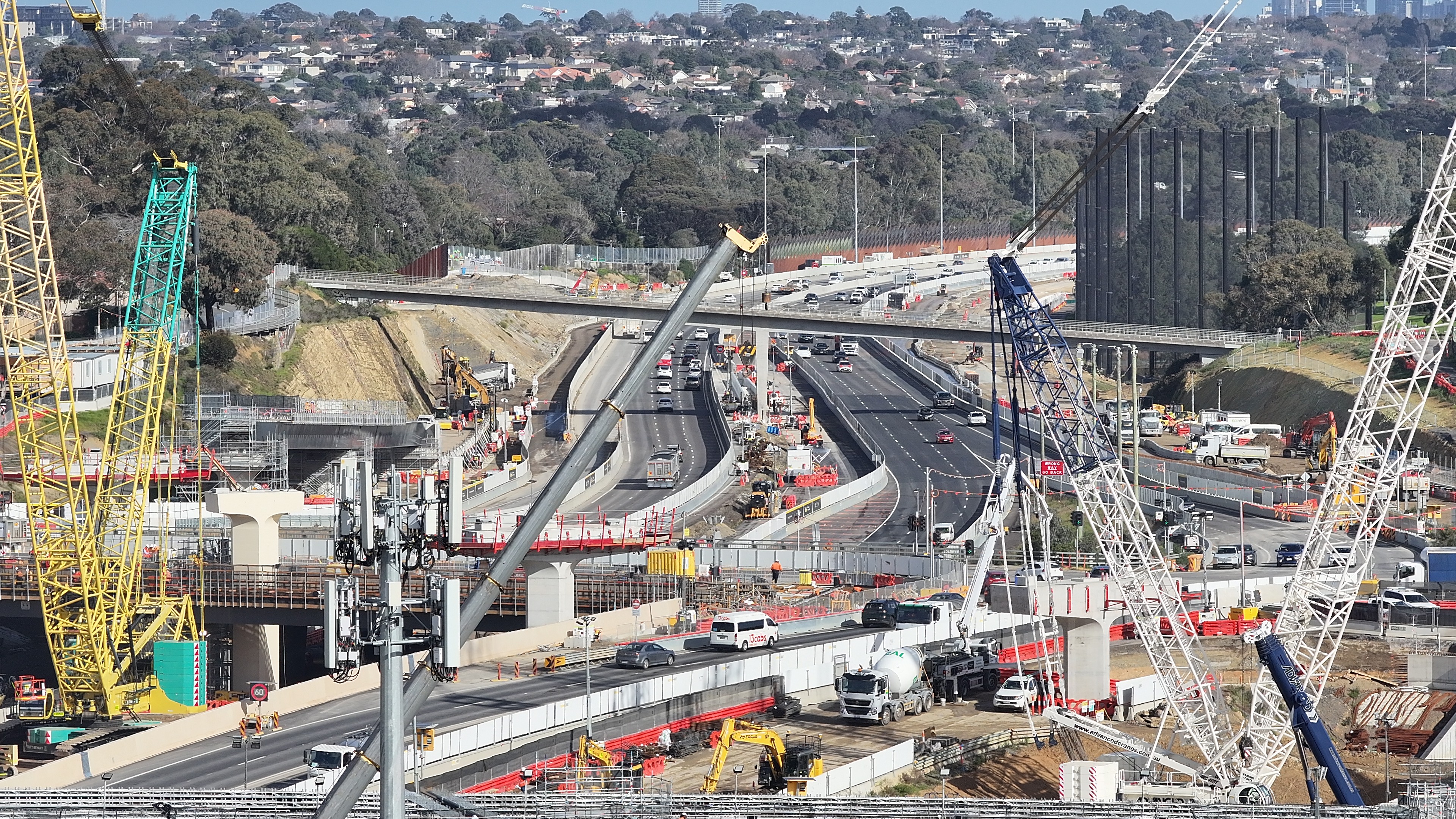
Birdseye aerial view of a Melbourne construction site

Construction Site Visibility

Through scheduled progress flights and high-resolution imagery, Hawk and Hover delivers visual documentation that supports reporting, stakeholder updates and timeline management — site by site, week by week.

  • Site surveying and mapping
  • Building inspection
  • Progress tracking for projects
  • Safety monitoring
  • Stockpile measurement
  • Infrastructure inspection (bridges, roofs, utilities)
  • 2D and 3D models
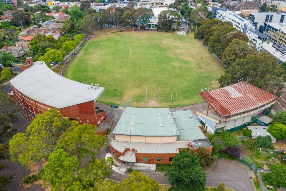
Aerial view of a council facility

Facility Inspections

Councils, asset managers and operators across Victoria rely on aerial inspection to keep facilities documented and compliant. Hawk and Hover delivers fast, scalable aerial inspections that turn maintenance schedules into evidence-based decisions.

  • Building and structural inspections
  • Ground and surface condition monitoring
  • Lighting tower and grandstand inspections
  • Roof and infrastructure integrity reviews
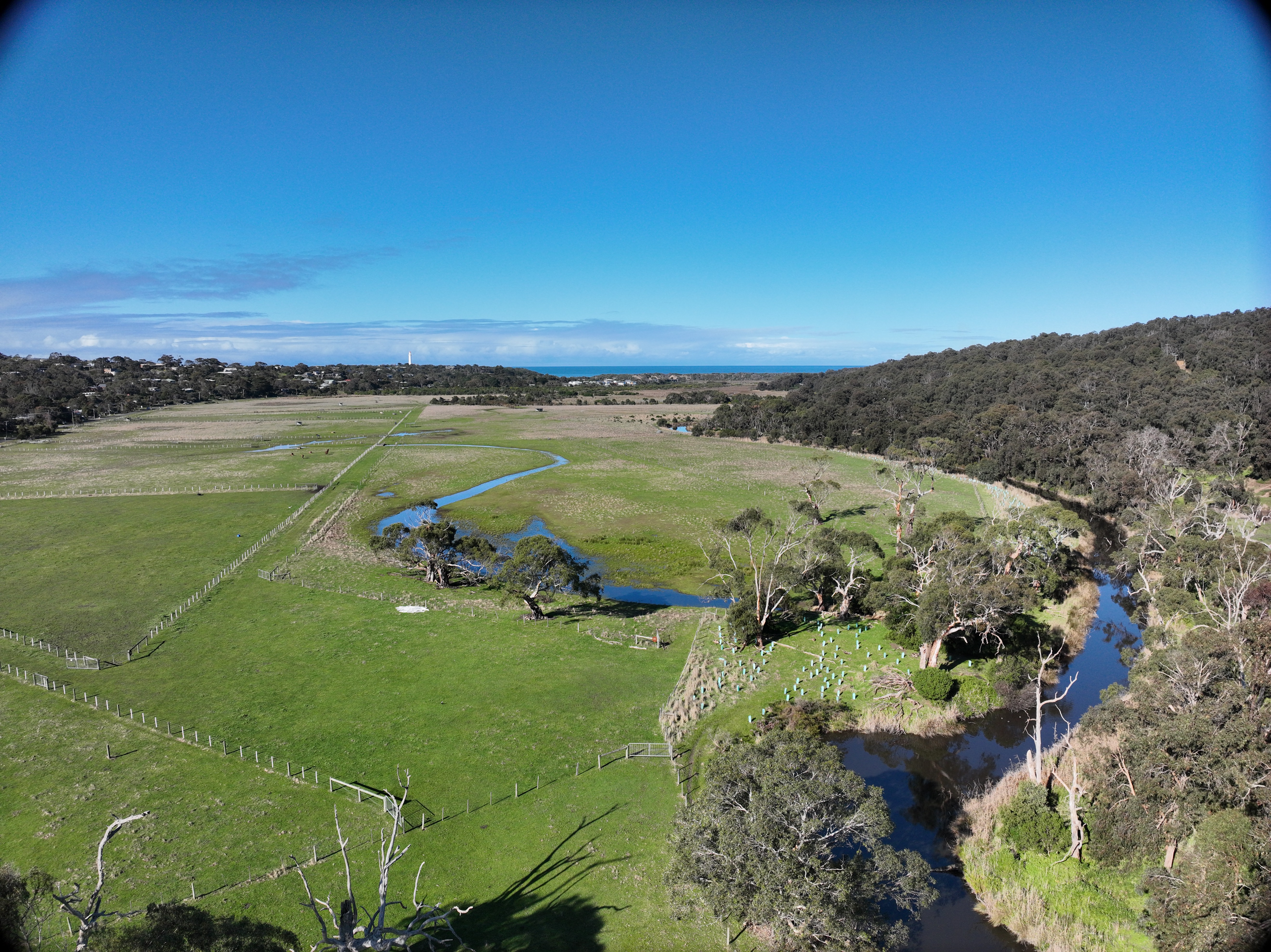
Aerial drone view of land being surveyed

Surveying Land

Drones have transformed land surveying by providing fast, accurate aerial data across large areas that would take ground crews days to cover. Flying above a site, a drone can capture thousands of overlapping images in a single mission — feeding photogrammetry software that produces centimetre-accurate topographic maps, orthophotos and 3D terrain models. Whether scoping a greenfield development, verifying boundaries before subdivision, or calculating earthwork volumes on an active civil job, aerial surveying dramatically reduces both time on site and the margin for error.

  • Topographic survey — contour mapping, elevation data and digital terrain models for grading and design
  • Boundary mapping — high-accuracy orthophotos overlaid with boundary linework for subdivision and development verification
  • Photogrammetry and 3D modelling — overlapping imagery processed into detailed 3D surface models and volume calculations
  • Stockpile and earthwork volume measurement — precise cut-and-fill calculations for civil and mining operations
Victoria has one of the largest infrastructure pipelines in Australia.

Transport projects, residential developments, commercial construction, government infrastructure upgrades and the facilities that support them — all increasingly using drones for surveying, monitoring and compliance documentation.

Key Clients

  • · Builders
  • · Property developers
  • · Civil infrastructure contractors
  • · Surveying Companies
  • · Architects
  • · Local councils
  • · Facility & asset managers

Safety Gains

Drones reduce the need for workers to:

  • · Climb structures
  • · Inspect roofs at height
  • · Access hazardous locations

Data Outputs

  • · Photogrammetry data
  • · 2D Mapping
  • · 3D models

Document every stage of the build.

From groundworks through to completion — and across the facilities that follow — scheduled flights with consistent, comparable data.